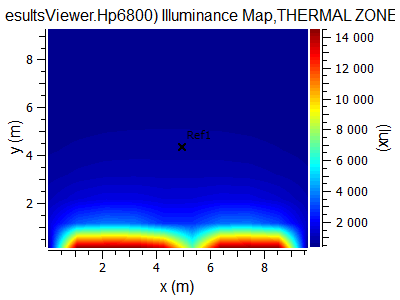
If you create a building orient strongly along coordinate system in SketchUp and do daylight analysis, you'll get a correct illuminance map.

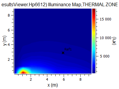
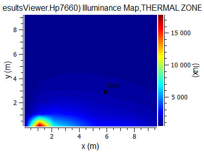
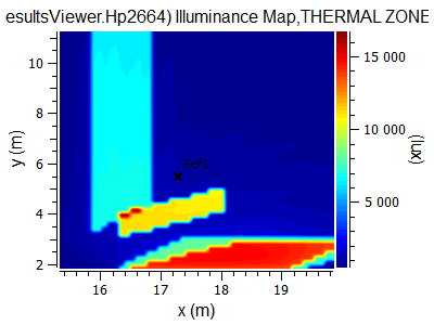
2 same windows produce the same picture. If you turn the building a little bit, the map will change dramatically:

To understand why it is, you can edit an illuminance map and turn it manually back to be parallel to SketchUp axes. The map is the same:

You can find the original model here Please clarify this.


