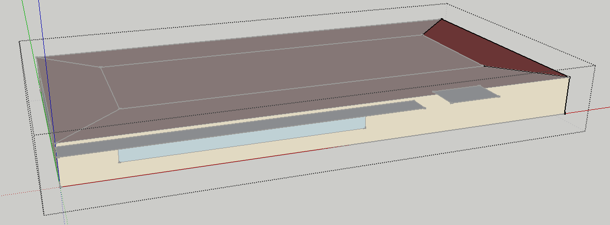
The Zones indeed all have the same origin at (0,0,0). It helps to visualize this stuff, here I loaded the model and removed the plenum zone in order to see things better. I've selected the zone that's the furthest away from the building origin (which is located at the intersection of the red, blue and green axis). The zone origin indeed is at (0,0,0).
It doesn't matter what the zone origin is as long as the Surfaces are entered properly.
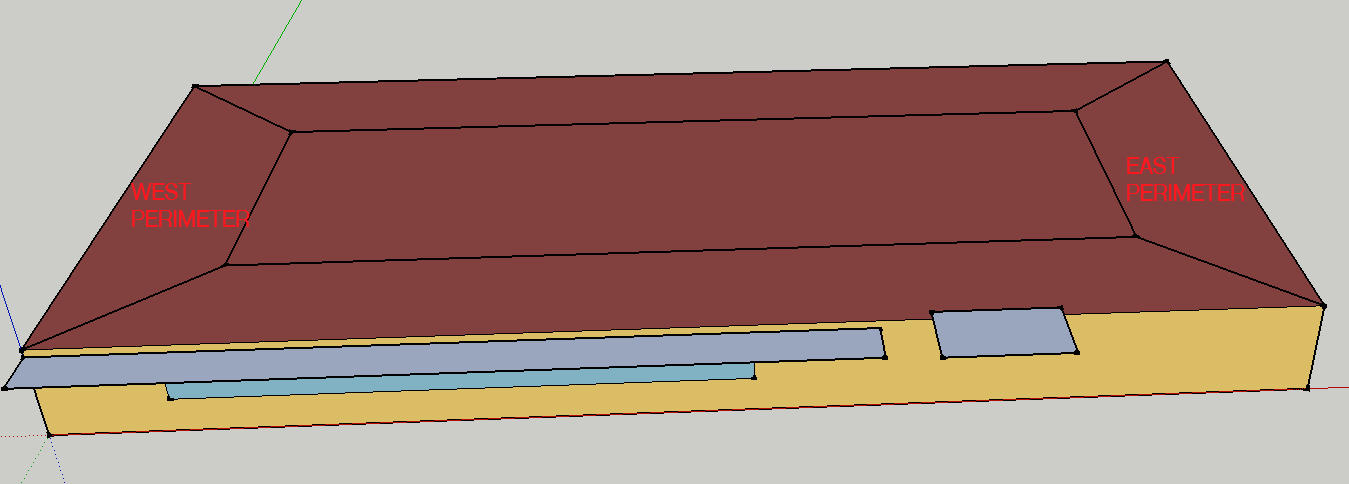
If we look at the difference between the EAST PERIMETER and WEST PERIMETER Zones
Here's the min/max values for each coordinate (x, y, z) for the walls (see code to generate this below)
[1] (main)> west_walls
=> {:all_x=>[0.0, 3.7], :all_y=>[0.0, 15.2], :all_z=>[0.0, 2.4]}
[2] (main)> east_walls
=> {:all_x=>[26.8, 30.5], :all_y=>[0.0, 15.2], :all_z=>[0.0, 2.4]}
So the walls for the "EAST PERIMETER" zone have much higher x coordinates than "WEST PERIMETER" walls, which explains why they are placed where they are even though both Zones have the same origin.
Documentation to read:
Code to generate the above:
workspace = OpenStudio::Workspace.load('Exercise2C-Solution.idf').get

def get_xyz(w)
  all_x = []
  all_y = []
  all_z = []
  for i in 0..w.numExtensibleGroups-1
    e = w.getExtensibleGroup(i)
    all_x << e.getDouble(0).get
    all_y << e.getDouble(1).get
    all_z << e.getDouble(2).get
  end

  return all_x, all_y, all_z
end

west = workspace.getObjectByTypeAndName("Zone".to_IddObjectType, "WEST PERIMETER").get
east = workspace.getObjectByTypeAndName("Zone".to_IddObjectType, "EAST PERIMETER").get

#west_walls = {:walls=>[], :all_x=>[], :all_y=>[], :all_z=>[]}
#east_walls = {:walls=>[], :all_x=>[], :all_y=>[], :all_z=>[]}

west_walls = {:all_x=>[], :all_y=>[], :all_z=>[]}
east_walls = {:all_x=>[], :all_y=>[], :all_z=>[]}


workspace.getObjectsByType("BuildingSurface:Detailed".to_IddObjectType).each do |w|
  if w.getString(1).to_s.upcase == 'WALL'
    if w.getString(3).to_s.upcase == west.name.to_s.upcase
        all_x, all_y, all_z = get_xyz(w)
        west_walls[:all_x] += all_x
        west_walls[:all_y] += all_y
        west_walls[:all_z] += all_z

    elsif w.getString(3).to_s.upcase == east.name.to_s.upcase
        #east_walls[:walls] << w
        all_x, all_y, all_z = get_xyz(w)
        east_walls[:all_x] += all_x
        east_walls[:all_y] += all_y
        east_walls[:all_z] += all_z
    end
  end
end

west_walls.each {|k, v| west_walls[k] = v.minmax}
east_walls.each {|k, v| east_walls[k] = v.minmax}


Could you always try to tag your question with a specific software if that's appropriate please? A linked to the example in question is useful. I went ahead and made the changes.