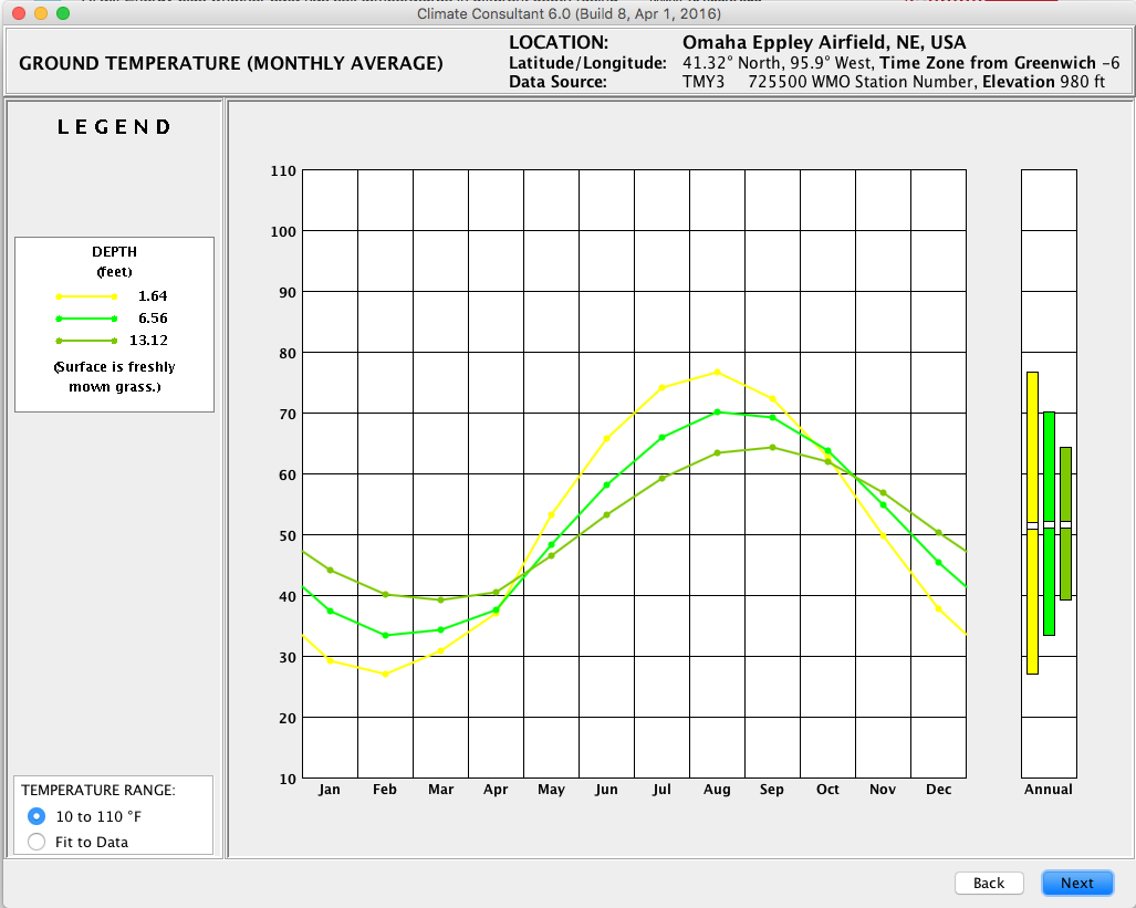
Are you referring to the Climate Consultant plot of soil temperatures in the screen shot below?

These are "undisturbed" ground temperatures at different depths ie. as if the measurement was from an open field without any structures. As such, they should not be used as ground temperatures to interact with a building model. You can use a pre-processor tool like Kiva to generate proper ground temperature profiles.
The EPW file does not contain information for soil conductivity, density, etc. I don't know of a great resource to find these properties for any location. There is a nifty map-based interface for seeing survey results for soil properties in California here: http://casoilresource.lawr.ucdavis.ed...


